Maps of Chawton
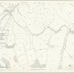 1870|Ordnance Survey1:2 500
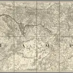 1863|Great Britain. Board of Ordnance1:63 360
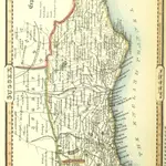 1842|PIGOT, James AND CO
 1842|PIGOT, James AND CO
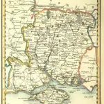
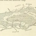 1838|BAKEWELL, Robert Geologist
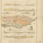 1833|MANTELL, Gideon Algernon.
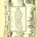 1845|RAMBLE, Reuben pseud. [i.e. Samuel Clark.]