Maps of Koliganek, Alaska
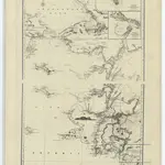 1852|Russian Hydrographic Office1:2 561 408
 1854|Hill1:14 600 000
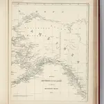 1861|Tichmenieff1:6 200 000
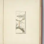
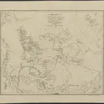
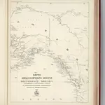 1864|Russian Admiralty1:7 600 000
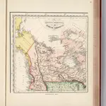 1831|Bouchette1:16 000 000
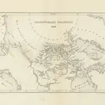 1860|PETERSEN, Carl Naturalist
 1829|Weimar : Verlag des Geograph. Instituts1:12 200 000