Maps of Laurein
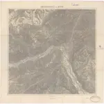 1870|K. u. k. Militärgeographisches Institut1:75 000
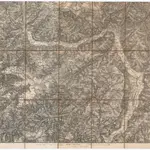 18701:129 600
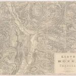 1850|Heintz, C.1:100 000
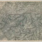 1873|Militärgeographisches Institut1:300 000
 18661:300 000
 1830|dessinée et publié par Henri Keller ; Lithogr. von J. Schweizer = Charte der Schweiz mit den Grundrissen der Hauptorte der 22 Cantone1:200 000
 1860|Ed. Hölzel