Maps of Mœrnach
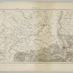 1833|Dufour, G. H.1:100 000
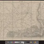 1845|vermessen und hrsg. auf Befehl der Eidgenössischen Behörden ; aufgenommen unter der Aufsicht des Generals G.H. Dufour1:100 000
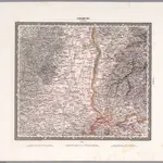 1831|Herder, Bartholomew1:200 000
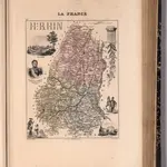 1869|Migeon, J.1:116 280
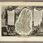 1856|Levasseur, Victor.1:571 000
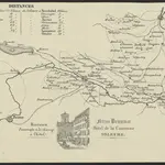 1850|[S.l.] : [s.n.]
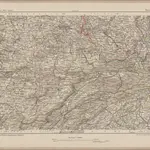 1870|Johannes Wilhelm Liebenow 1822-18971:300 000