Project
Community
News
My App
My maps
Maps of Newport, Isle of Wight
Advanced search
All
Private
Favorites
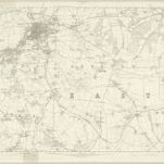
Hampshire & Isle of Wight XCV - OS Six-Inch Map
1863|Ordnance Survey
1:10 560
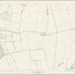
Hampshire and Isle of Wight XCIV.4 (includes: Calbourne; Newport) - 25 Inch Map
1864|Ordnance Survey
1:2 500
Hampshire and Isle of Wight XCIV.8 (includes: Calbourne; Newport) - 25 Inch Map
1864|Ordnance Survey
1:2 500
Hampshire and Isle of Wight XCV.5 (includes: Newport) - 25 Inch Map
1864|Ordnance Survey
1:2 500
Hampshire and Isle of Wight XCV.9 (includes: Gatcombe; Newport) - 25 Inch Map
1862|Ordnance Survey
1:2 500
Hampshire and Isle of Wight XCIV.12 (includes: Gatcombe; Newport; Shorwell) - 25 Inch Map
1861|Ordnance Survey
1:2 500
Hampshire and Isle of Wight XCV.3 (includes: Newport; South Arreton) - 25 Inch Map
1863|Ordnance Survey
1:2 500
1600
1650
1700
1750
1800
1850
1900
1950
2000
History
Old maps of Newport, Isle of Wight
Discover the past of Newport, Isle of Wight on historical maps
Old maps of Newport, Isle of Wight
Discover the past of Newport, Isle of Wight on historical maps
Explore Maps
Discover History
Parent places
Isle of Wight
Related places
© MapTiler
© OpenStreetMap
 1863|Ordnance Survey1:10 560
 1864|Ordnance Survey1:2 500
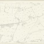 1864|Ordnance Survey1:2 500
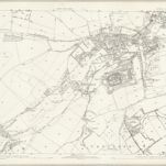 1864|Ordnance Survey1:2 500
 1862|Ordnance Survey1:2 500
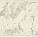 1861|Ordnance Survey1:2 500
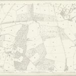 1863|Ordnance Survey1:2 500