Maps of Obernai
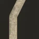
 1841|Lithographie de Ve Levrault1:80 000
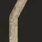
 1840|Lithographie de Ve Levrault1:80 000
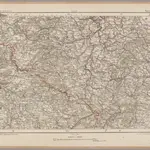 1870|Johannes Wilhelm Liebenow 1822-18971:300 000
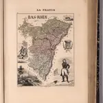
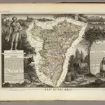 1856|Levasseur, Victor.1:455 000
 1869|Migeon, J.1:147 060
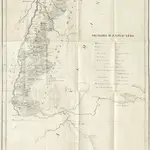 1833|VOGT, Nicolaus.
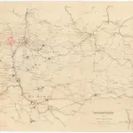 1870|Kgl. Hofbuchh. v. E.S. Mittler Sohn1:200 000