Maps of Westhausen (Ostalb)
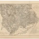 18001:170 000
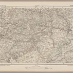 1870|Johannes Wilhelm Liebenow 1822-18971:300 000
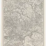 1859|Terrainzeichnung: Bach, Topograf und Hauptmann Lithografie: Rebmann und Sommer Herausgeber: K. statistisch-topografisches Büro1:1 500 000
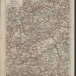
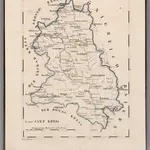 1825|Hermann, O.1:110 000
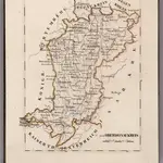 1825|Hermann, O.1:220 000
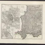 1860|Meyer, J.
 1874|Bibliographisches Institut1:850 000