Maps of Ǵorče Petrov Municipality
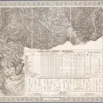 1856|[Wien : K.K. Militärisch-Geografisches Institut]1:576 000
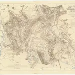 1867|Kiepert, Heinrich1:500 000
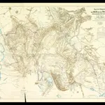 1867|Hahn, Johann Georg von1:500 000
 1866|Schaller, G.1:864 000
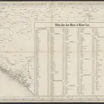
 1820|Šafařík, Pavel Josef
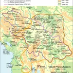 1868|Zwick, J. ; Frantz, E.
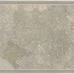 1850|Handtke, Friedrich1:600 000
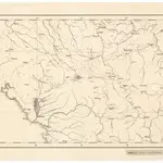
Old maps of Ǵorče Petrov Municipality
Discover the past of Ǵorče Petrov Municipality on historical maps
Old maps of Ǵorče Petrov Municipality
Discover the past of Ǵorče Petrov Municipality on historical maps
Looking for a Google Maps API Alternative?