
Mapas de Wellow (Hampshire)
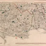
 Hampshire & Isle of Wight LVI - OS Six-Inch Map1866|Ordnance Survey1:10 560
 Hampshire and Isle of Wight LVI.7 (includes: Romsey Extra; Romsey Infra; Wellow) - 25 Inch Map1865|Ordnance Survey1:2 500
 Hampshire and Isle of Wight LVI.10 (includes: Copythorne; Romsey Extra; Wellow) - 25 Inch Map1868|Ordnance Survey1:2 500
 Hampshire & Isle of Wight LV - OS Six-Inch Map1871|Ordnance Survey1:10 560
 Wiltshire LXXVII - OS Six-Inch Map1871|Ordnance Survey1:10 560
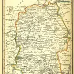
 Cary's Improved Map of England and Wales1832|Cary, George, & Cary, John
 A Pocket Topography and Gazetteer of England. ... Illustrated by maps of the English counties, and vignettes of cathedrals, etc1842|PIGOT, James AND CO
1600
1650
1700
1750
1800
1850
1900
1950
2000


Mapas antiguos de Wellow (Hampshire)
Descubra el pasado de Wellow (Hampshire) en mapas históricos
Mapas antiguos de Wellow (Hampshire)
Descubra el pasado de Wellow (Hampshire) en mapas históricos
En busca de un Google Maps API Alternativa?