Project
Gemeenschap
Nieuws
Mijn app
Mijn kaarten
Kaarten van Roseboro
Geavanceerd zoeken
Alle
Privé
Favorieten
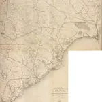
Part of the Military Department of The South, embracing portions of Georgia and South Carolina. [Eastern Part]
1865
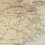
Chart of His Majesties Province of North Carolina
1875|James Wimble
1:1 293 460
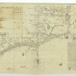
Prang's Naval Expedition Maps: North Carolina coast line
1862|L. Prang & Co.
South Carolina.
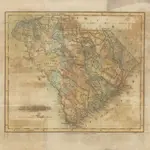
1838|Bradford, Thomas G.
1:1 267 200
Statistics of South Carolina, including a view of the natural, civil and military history general and particular
1826|MILLS, Robert.
South Carolina.
1865|Colton, G.W.
1:1 500 000
South Carolina.
1843|Colby, Charles A.
1:1 200 000
1600
1650
1700
1750
1800
1850
1900
1950
2000
Geschiedenis
Oude kaarten van Roseboro
Ontdek het verleden van Roseboro op historische kaarten
Oude kaarten van Roseboro
Ontdek het verleden van Roseboro op historische kaarten
Ontdek kaarten
Ontdek geschiedenis
Ouderlijke regio
Sampson County
Verwante plaatsen
© MapTiler
© OpenStreetMap
 1865
1865
 1875|James Wimble1:1 293 460
 1862|L. Prang & Co.
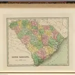 1838|Bradford, Thomas G.1:1 267 200
 1826|MILLS, Robert.
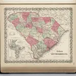 1865|Colton, G.W.1:1 500 000
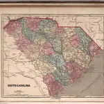 1843|Colby, Charles A.1:1 200 000