项目
社区
新闻
我的应用程序
我的地图
地图 羅基什基斯
高级搜索
全部
私人
收藏夹
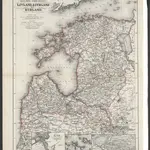
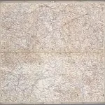
Russische Ost-See-Provinzen Livland, Esthland und Kurland
1867|Issleib, Wilhelm
1:1 350 000
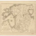
Topographische Charte von Liw-Laett u. Eestland zu Anfang des 13ten Jahrhunderts
1828
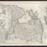
Die Russischen Ost-See-Provinzen Livland Ehstland und Kurland
1860|Meyer, J.
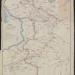
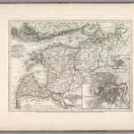
Carte des operations du corps d'armée commandé par le général polonais, Henri Dembinski en 1831
1831|Dembiński, Henryk
IV, uit: General-Karte von Mittel-Europa in 12 Blättern, im Masse 1:1.200.000 / entworfen, bearb. und hrsg. von Josef Schlacher
1875|Wien : K.K. Militär Geografisches Institut
1:1 200 000
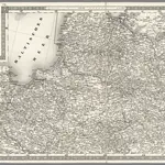
Russland: Gouvernement Sankt Petersburg, Esthland, Liefland, Kurland
1854|Renner, L.
1:3 500 000
Konigsberg. VII
1837|Schubert, Friedrich Theodor
1:1 400 000
1600
1650
1700
1750
1800
1850
1900
1950
2000
历史
羅基什基斯的老地图
在历史地图上发现 羅基什基斯 的过去
羅基什基斯的老地图
在历史地图上发现 羅基什基斯 的过去
探索地图
发现历史
母区域
羅基什基斯區
相关地点
© MapTiler
© OpenStreetMap
 1867|Issleib, Wilhelm1:1 350 000
 1828
1828
 1860|Meyer, J.
 1831|Dembiński, Henryk
 1875|Wien : K.K. Militär Geografisches Institut1:1 200 000
 1854|Renner, L.1:3 500 000
 1837|Schubert, Friedrich Theodor1:1 400 000